WE UNDERSTAND
Time is money
We save our customers both by enabling quick turn-arounds through the efficient use of leading edge technology.

20
Years of Experience
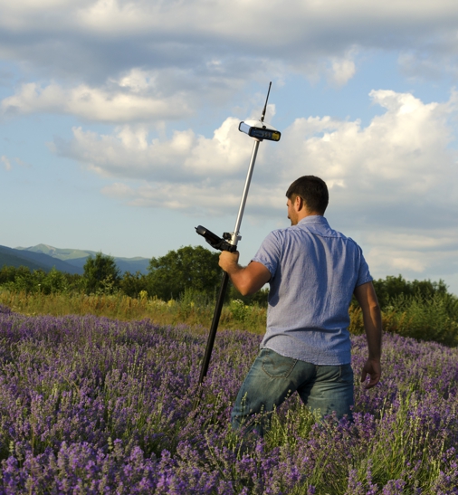
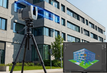
True North Positioning specializes in enhancing construction projects through expert data management and advanced technology.
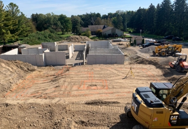
Our services include multi-trade construction layout, as-builts, 3D modeling, 3D scanning, floor flatness inspections, topographic surveys, GPS data preparation, and volume calculations.
-
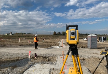
We handle multi-trade construction layout and as-builts, ensuring every detail aligns perfectly for your build.
-
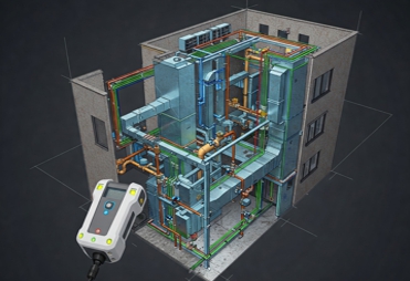
Our 3D modeling and scanning services provide precise, cutting-edge solutions for project planning and execution.
-
We offer topographic surveys, GPS data prep, and volume calculations to streamline earthwork and structural accuracy.
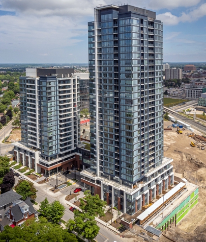
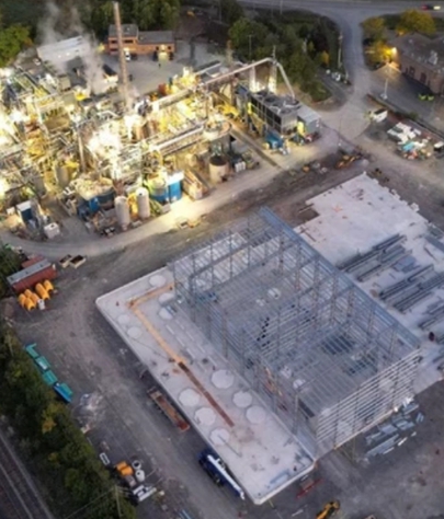
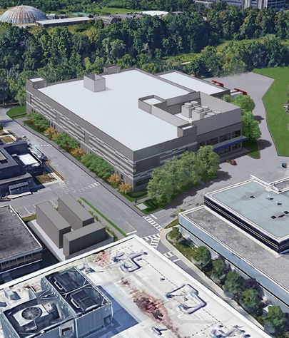
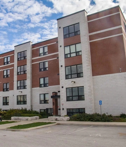
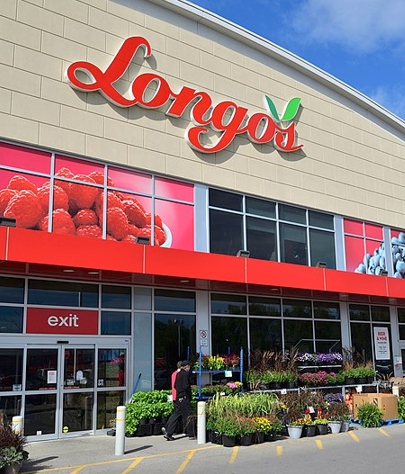
PROJECTS
Our Recent
Our Recent
Projects
SERVICES
No challenge is too big for us


Over
185
185
Projects
With Over
96
96
Clients
TESTIMONIALS
Reviews form completed projects
At True North Positioning we have a perfect track record of meeting and exceeding our client's expectations.